Image 15.03.2024 Glacial evolution of the north European ice sheets during the Quaternary: Status and Challenges. Seminar
Image 30.11.2023 Summary from EU-WATERRES: International cooperation on groundwater must be strengthened Article
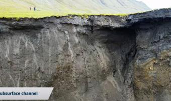
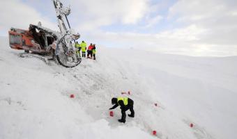
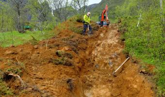
Image 07.09.2023 Working on improved monitoring of landforms and subsidence infrastructure in Svalbard Article
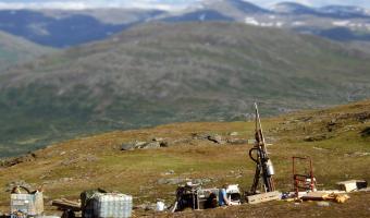
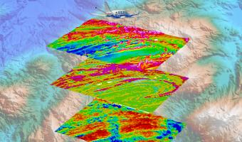
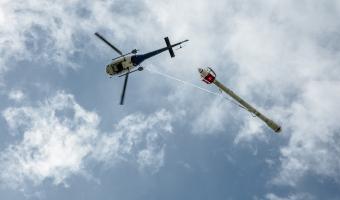
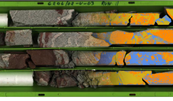
17.08.2023 Great confidence in Norway's ability to create the world's most sustainable mining industry Article