
Water knows no national borders. Overconsumption and pollution on one side of the border can lead to water scarcity and environmental issues on the other side. This can affect critical drinking water resources for industry and agriculture, leading to political conflicts between neighboring countries.
The UN Sustainable Development Goal 6 on water and the EU Water Framework Directive both emphasize the importance of international cooperation on transboundary water resources. However, many countries are lagging in this work. The lack of harmonization of groundwater data, discrepant methodological approaches, and language barriers create challenges for cross-border research and management.
EU-WATERRES was a three-year research project funded by EEA Grants and Norway Grants.
The project’s primary goal is to create tools for managing and protecting transboundary groundwater using a geoinformation platform. The Polish Geological Institute (PGI) led the project, with project participants from Latvia, Ukraine, Estonia, and Norway.
As part of the project, two international groups were established to research the quality and quantity of groundwater in two regions: the Baltic Sea (Baltic countries) and Central and Eastern Europe.
The goals of the project were:
- To create a geoinformation platform for integrated data processing defining the conditions for transboundary aquifers and their numerical simulation.
- To support decision-makers by creating solutions for coordinated use and integrated protection of transboundary groundwater.
- To establish a basis for coordinating procedures for monitoring transboundary groundwater.
- To enhance the credibility of assessing the condition of transboundary groundwater by harmonizing data.
- To test the solution in case studies in the EU and Ukraine.
More information about the project can be found on the website.
Defied war
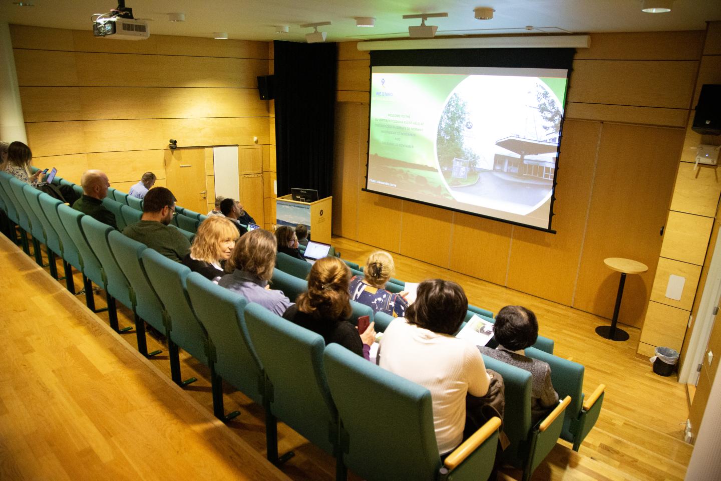
Water security was a highly relevant topic when hydrogeologists, researchers, and experts from Estonia, Latvia, Poland, Ukraine, and Norway gathered in Trondheim to conclude EU-WATERRES last week.
Despite numerous disruptions during the project, including events where the Ukrainian research colleagues had to seek refuge during alarms, the project group completed two pilot studies of transboundary water resources on the Latvian-Estonian and Polish-Ukrainian borders. The ongoing war in Ukraine has left contaminated surface water and groundwater in the war-torn areas of Eastern Ukraine, serving as a reminder of the vulnerability of critical water resources.
The EU-WATERRES Map Portal, displaying datasets from the pilot studies, is a significant project outcome. In addition, numerous research articles have been published, and several conferences, seminars, and lectures have been held.
Authorities lack knowledge
During the project, a survey was conducted among industry, authorities, research, and academic institutions in the partner countries. It revealed a low awareness of transboundary groundwater issues. In addition, public administrators and industry lack access to and knowledge about groundwater data.
Tatiana Solovey, project leader in EU-WATERRES and researcher at the Polish Geological Institute (PGI), believes more must be done so that key decision-makers to understand the value of groundwater mapping.
"Communication and dialogue are key. I have spoken with colleagues in Lithuania, Estonia, Latvia, and Malta, and they confirm a reluctance of authorities to address this issue. As a researcher, it is challenging to reach politicians and authorities if you want to implement measures, regardless of where you work," says Solovey.

"The value of the products of the EU-WATERRES project cannot be overstated. The map portal, created for those involved in groundwater management, is a rich source of information complemented by numerical dynamic models and reports available on the project's website," she adds.
Out of sight, out of mind
Norway has been a significant contributor to EU-WATERRES, and as an expert partner in the project, it was expected that Norway would have control over its groundwater management. However, a study conducted by NGU and NVE showed that the few defined transboundary groundwater bodies between Norway and Sweden are poorly mapped and harmonized.
"Even after the introduction of the EU Water Framework Directive, the focus on groundwater research and management has been inadequate. As a result, formal collaboration agreements with Sweden on groundwater have not been established, although we collaborate well on surface water. Here, the saying 'out of sight, out of mind' likely applies,” says Belinda Flem, a researcher at NGU.

Flem believes Norway has much to learn from how other countries manage groundwater occurrences.
"The partner countries in EU-WATERRES have followed the recommendations of the EU Water Framework Directive and divided the land area into different administrative horizons of groundwater. Here, Norway should 'copy' Scotland, which has a geology similar to Norway. They have divided the land area into a horizon for groundwater in bedrock and one for groundwater in quaternary deposits. The EU Water Framework Directive concerns watershed boundaries that extend beyond national borders. It would, therefore, be advantageous if Norway and Sweden made these administrative changes simultaneously," says Flem.

Lars Stalsberg, a senior engineer at NVE, has worked on groundwater management in Norway for several years and co-authored several articles on the topic. During the EU-WATERRES closing conference, he expressed his concern that groundwater management is not given the importance it deserves.


In Norway, groundwater bodies are only defined in selected areas with quaternary deposits.
Read publications on groundwater management and international cooperation:
EU-WATERRES - Survey on the management of groundwater in the border areas