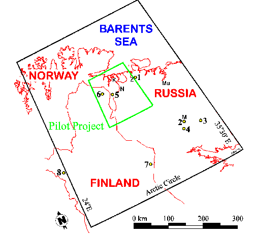
 (Map: P. de Caritat) |
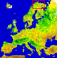
The area outlined in red in the satellite photograph of Europe below is the study area enlarged to the left |
Left: Map showing the location of the pilot project
(green frame), catchment study (yellow dots) and
regional geochemical mapping (black frame, or
approx. 188,000 km2) areas from the Kola Ecogeo-
chemistry Project. Towns of Kirkenes (K), Nikel (N),
Monchegorsk (M), Murmansk (Mu) and Zapoljarniy (Z)
are also identified.
(Map: P. de Caritat)
The area outlined in red in the
satellite photograph of Europe
below is the study area
enlarged to the left